Red Centre road trip
A family hub for Red Centre travel — West MacDonnells, Palm Valley, desert towns, and the roads toward William Creek and Lake Eyre.
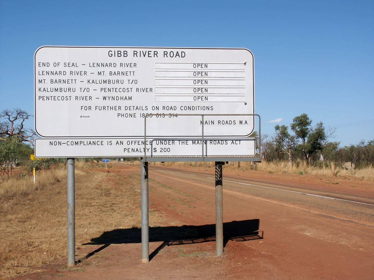
Gibb River Road, Western Australia by Nachoman-au, CC BY-SA 3.0. Source on Wikimedia Commons. Self-hosted locally. See the full image credits.
At a glance
- Alice Springs is the usual logistics town for the western ranges.
- Some gorges are sealed-road easy; Palm Valley is not.
- Heat, distance and water planning matter more than a packed daily schedule.
- Park passes and closures live on Parks Australia and NT Parks pages.
The Red Centre is the desert heart that people picture when they say “outback” and mean red rock, white ghost gums and a sky that goes all the way down to the road. A family road trip here can be a few days on sealed highways or a longer, sandier project. This hub keeps those two trips from being confused.
Why the centre rewards a slow week
Distances look short on a national map and long on an afternoon with kids who need shade. Plan shorter driving days than your coastal habit. Swim or walk early. Rest in the heat. The Red Centre road trip guide is written in that rhythm.
Uluru-Kata Tjuta National Park is jointly managed and has its own pass and cultural rules. Those rules are not optional decoration. Read them on Parks Australia before you arrive. This journal will not invent pass prices.
Palm Valley and the West MacDonnells
West of Alice Springs, the West MacDonnell ranges offer gorges that many families can reach without leaving sealed or easy roads, depending on current works. Palm Valley is a different story: a sandy track into a rare palm-lined valley when conditions allow. Check NT Parks for access. Do not treat a 2016 photo as a track report.
Lake Eyre and William Creek
South-east of the Centre, the road toward William Creek and Kati Thanda–Lake Eyre is remote even when the lake is dry — which it often is. The Lake Eyre and William Creek guide is for families who already understand fuel range and heat. Opal country around Coober Pedy sits on related inland routes. The archive called one of those notes “opal fever”. This hub will not retell that diary. It will say: towns are far apart, and you should travel with current road information from the state that manages the section you are on.
What this hub will not do
It will not rank lookouts. It will not invent a “best time” as a marketing season if the park page is the living source. It will not recommend an unnamed tour company as if it were a fact. If you want camping technique rather than desert geography, use the family camping hub and come back here for place.
From here, read the long Red Centre guide, then Palm Valley, then Lake Eyre if the southern inland is on your map. If you are looping north afterward, the Top End hub is the next honest page.
Heat, water and the shape of a day
Central Australian heat is not a backdrop. It is the timetable. Walk early. Sit through the middle. Drive in the afternoon if the vehicle and the children can stand it. Carry more water than the optimistic plan. Hats are not optional theatre.
Towns are far apart on some of these roads. That is not a reason to fear the Centre. It is a reason to fuel when you can and not treat a lookout as a shop.
Uluru-Kata Tjuta and cultural sense
Uluru-Kata Tjuta National Park publishes pass, cultural and walking information. Climbing closures and cultural requests are not a debate club. Families can model listening. This hub will not invent a pass price or a “best sunrise spot” ranking. It will say: read the park page, then go slowly.
Alice Springs is the usual mechanics-and-groceries town for the western ranges. It is also a place to rest. A rest day in town is an itinerary item.
How this hub connects
From the Centre you can head north toward the Top End, south toward opal country and William Creek, or back onto a Big Lap ring. Each choice is a season and fuel conversation. Use NT Parks for Territory parks and the relevant state agency when you cross a border. Then open the long Red Centre road trip guide and write a week that can survive 40 degrees of honesty.
Opal towns and the southern inland
The archive’s “opal fever” note pointed at inland South Australian and Territory roads that families still travel when they have the range and the weather. This hub will not retell that diary or invent a mine tour. It will say that those towns are service points on a hot map, and that you should travel with current road information from the state you are in.
If that chapter is not yours this year, you still have the western ranges and the park at Uluru-Kata Tjuta. Enough is a Centre itinerary.
Guides in this section
Lake Eyre and William Creek
Remote family travel toward William Creek and Kati Thanda–Lake Eyre — a lake that is often dry, with fuel and heat humility and no invented flood years.
Palm Valley and the West MacDonnells
How families tell sandy Palm Valley from sealed West MacDonnell gorges — NT Parks access, high-clearance honesty, and no invented track ratings.
Red Centre road trip
A family Red Centre road trip through Alice Springs, the West MacDonnells and Uluru-Kata Tjuta — heat, water, sealed roads and the tracks that are not sealed.
Or return to the full adventure journal and open Lake Eyre and William Creek.
Questions families ask
- What is a Red Centre road trip?
- A journey through Australia’s central desert ranges and towns, often based on Alice Springs, Uluru-Kata Tjuta and the West MacDonnell ranges, sometimes extending toward Coober Pedy, William Creek and Lake Eyre.
- Do I need a four-wheel drive for the Red Centre?
- Not for every highlight. Sealed-road gorges and the main highways are two-wheel-drive country in ordinary conditions. Palm Valley and some desert tracks are four-wheel-drive propositions when they are open.
Pitch a family travel note
This journal welcomes considered guest posts on family camping and Australian road travel. Editorial citations stay followed; paid placements are marked sponsored.
Contact the desk about a guest post · Browse the adventure journal