Image credits
Every photograph and map on this site is one of the Creative Commons works listed in the rebuild brief. Files are downloaded and served from this host — nothing is hotlinked. Where a licensed image does not fit a scene, the page uses a placeholder rather than an unlicensed photo.
Gibb River Road, The Kimberley
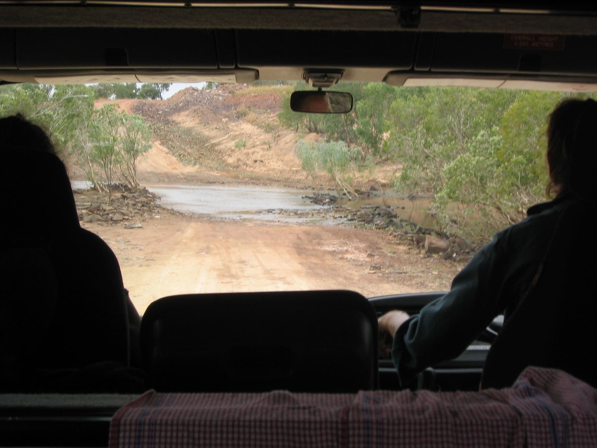
Creator: Phil Whitehouse. Licence: CC BY 2.0. Wikimedia Commons file page.
Unsealed red Gibb River Road stretching through open Kimberley woodland under a wide sky
Gibb River Road, Western Australia
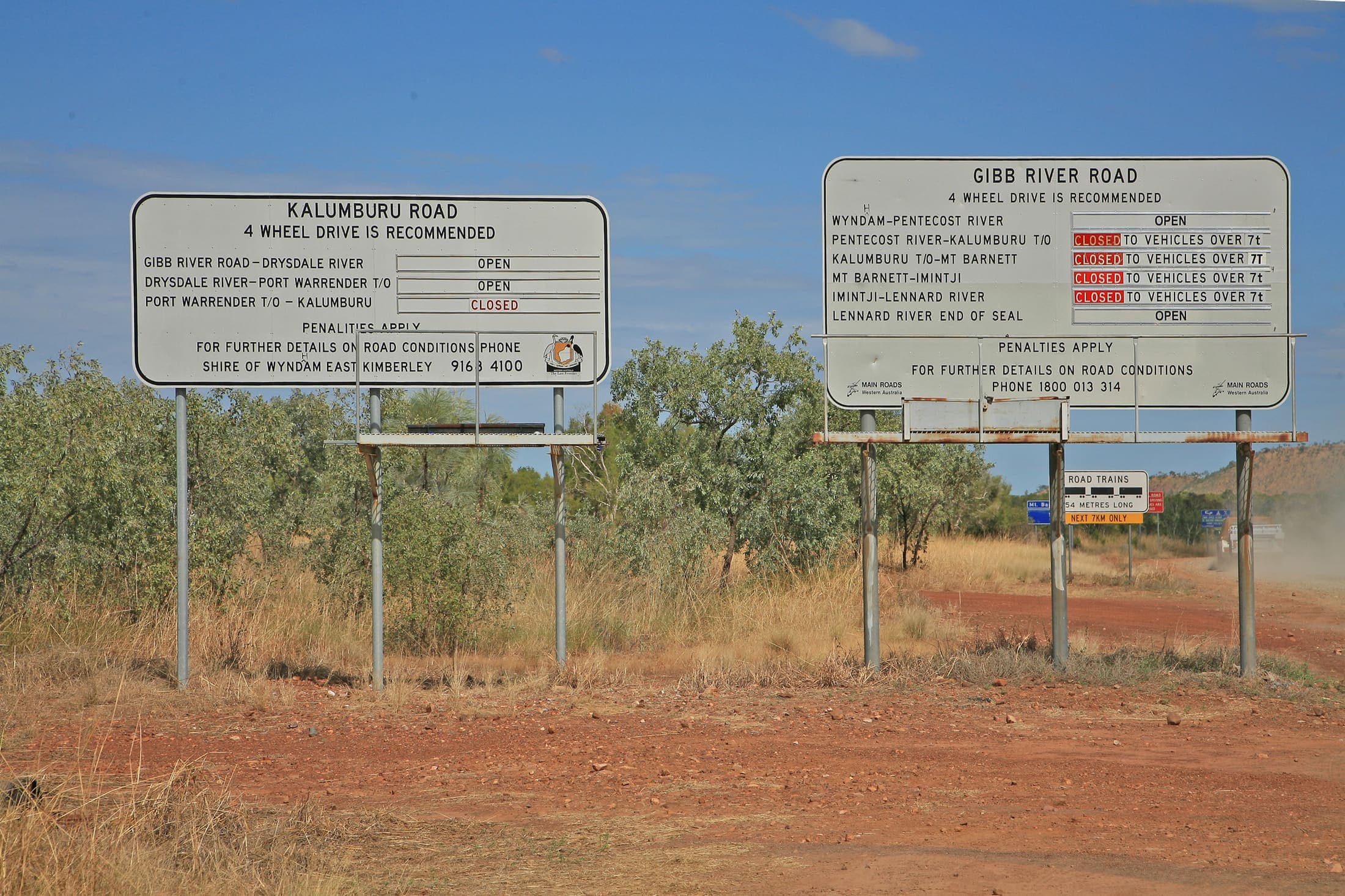
Creator: W. Bulach. Licence: CC BY-SA 4.0. Wikimedia Commons file page.
Gibb River Road cattle track through the Kimberley with red earth and scattered trees
Gibb River Road, Western Australia
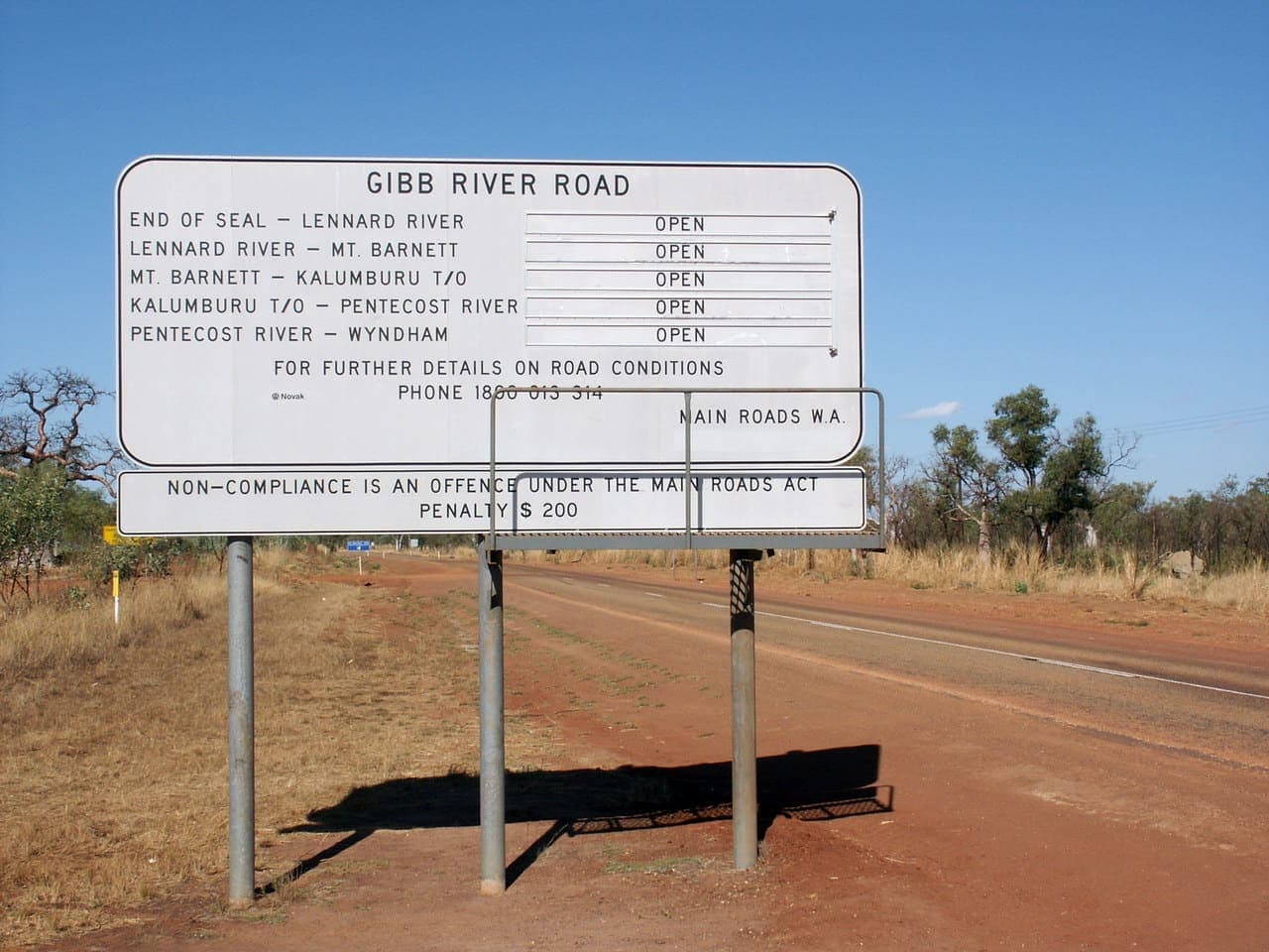
Creator: Nachoman-au. Licence: CC BY-SA 3.0. Wikimedia Commons file page.
Gibb River Road running toward distant Kimberley ranges on a dry-season afternoon
Blank map of the Kimberley region of Western Australia
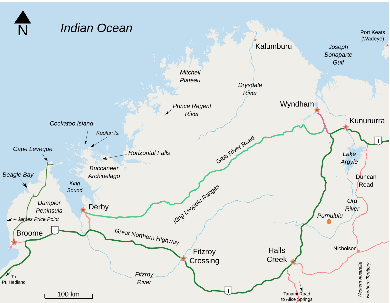
Creator: Djanga. Licence: CC BY-SA 3.0. Wikimedia Commons file page.
Labelled map of the Kimberley region of Western Australia showing the coast, inland ranges and major settlements
AVIF and WebP derivatives live beside the JPEG/PNG sources in /images/. Return to the homepage or the Kimberley hub to see them in context.